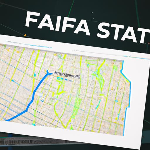
In a move that has left outdoor enthusiasts scratching their heads, popular fitness tracking app Strava has announced the impending closure of its 3D mapping platform Fatmap, just 20 months after acquiring the innovative technology. The decision comes as a surprise to many who have come to rely on Fatmap’s detailed terrain data for their outdoor adventures. The future of this beloved feature now hangs in the balance as users anxiously await further details from Strava.
Strava’s decision to shut down Fatmap’s 3D mapping platform
Strava has announced that it will be shutting down Fatmap’s 3D mapping platform, just 20 months after acquiring the technology. This unexpected decision comes as a surprise to many users who have come to rely on Fatmap’s advanced mapping features for outdoor activities.
Despite the initial excitement surrounding the acquisition, Strava cited challenges in integrating Fatmap’s technology into its platform as the main reason for the shutdown. The move has left many outdoor enthusiasts scrambling to find alternative mapping solutions that offer the same level of detail and accuracy that Fatmap was known for.

Impact on outdoor enthusiasts and athletes
Outdoor enthusiasts and athletes who have come to rely on Fatmap’s 3D mapping platform may be disappointed to learn that the service will be shutting down. The popular platform, which was acquired by Strava 20 months ago, was known for its detailed and interactive maps that allowed users to plan their adventures with precision.
This decision by Strava is sure to have an impact on the outdoor community, as many rely on 3D mapping tools for planning hikes, runs, and other outdoor activities. Without Fatmap, users may need to find alternative solutions for mapping out their routes and discovering new trails. It remains to be seen how this move will affect the outdoor community at large, but for now, outdoor enthusiasts and athletes will need to adjust to the loss of this beloved mapping platform.

Challenges and opportunities for alternative mapping solutions
Despite its initial potential, Fatmap has recently announced the closure of its 3D mapping platform following its acquisition by Strava 20 months ago. This decision comes as a surprise to many in the mapping industry, as Fatmap was seen as a promising alternative solution for outdoor enthusiasts looking for high-quality, detailed maps for their adventures.
While the closure of Fatmap presents challenges for those who relied on its features, it also opens up opportunities for other mapping solutions to step up and fill the gap in the market. Companies like Mapbox and Gaia GPS may benefit from the void left by Fatmap, offering unique features and innovative solutions to attract users looking for alternative mapping platforms. The evolving landscape of mapping technology presents both challenges and opportunities for companies in the field, pushing them to adapt and innovate to meet the changing needs of users.

Recommendations for users transitioning from Fatmap to other platforms
For users looking to transition from Fatmap to other platforms following the announcement of its closure, there are several recommendations to consider. One option is to migrate your saved routes and data to Strava, which offers a similar mapping feature and a large community of outdoor enthusiasts. By syncing your Fatmap account with Strava, you can seamlessly transfer your information and continue tracking your adventures.
<p>Alternatively, <strong>AllTrails</strong> is another popular choice for users seeking a new mapping platform. With a user-friendly interface and a vast database of trails worldwide, AllTrails is a great option for planning your next outdoor excursion. Be sure to export any important routes or waypoints from Fatmap and import them into AllTrails to ensure a smooth transition.</p>
Key Takeaways
In the world of tech acquisitions, sometimes even the most promising platforms can struggle to find their footing. Despite its innovative approach to 3D mapping, Fatmap will soon become a memory in the ever-evolving landscape of digital platforms. As Strava bids farewell to this once hopeful venture, we can only wonder what new horizons lie ahead for both companies. Only time will tell what the future holds for the world of outdoor mapping and tracking.


